Climate · Mexico
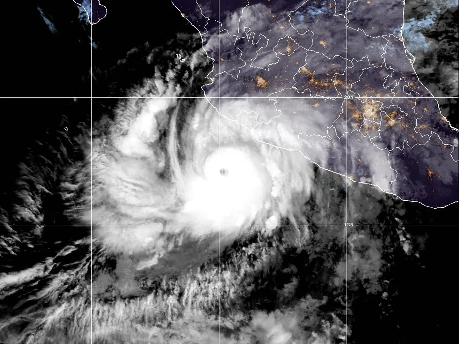
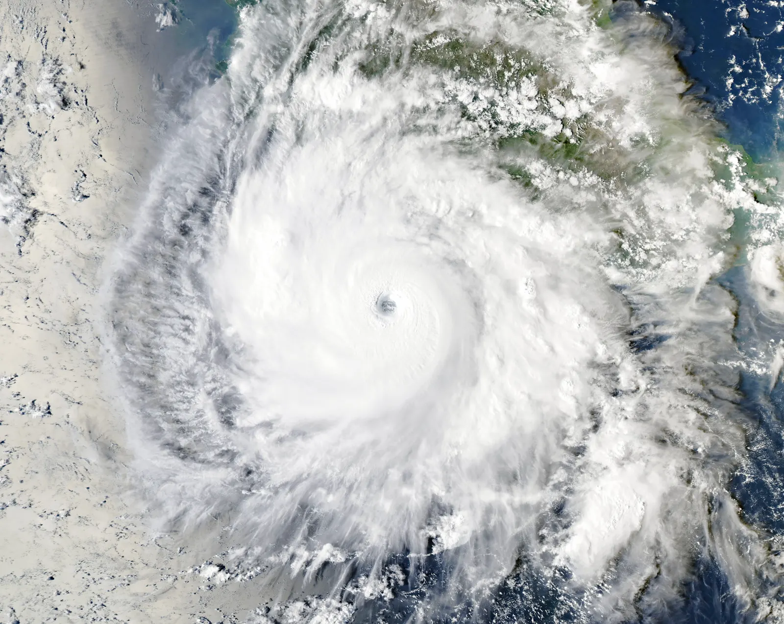
Hurricane Simon nears Mexico as Category 4 storm
Simon was forecast to approach Mexico’s west-central Pacific coast late Saturday or early Sunday. Further strengthening was possible before landfall.
Simon was forecast to approach Mexico’s west-central coast as a major hurricane after strengthening off the Pacific coast.
- Further strengthening remained possible before landfall.
- Warnings covered Manzanillo and areas south of Puerto Vallarta.
- Heavy rain was forecast across four Mexican states.
- Flooding, mudslides and destructive waves were possible.
What's new
- Simon was reported as a Category 4 hurricane off Mexico.
- It was forecast to approach the west-central coast late Saturday or early Sunday.
- Warnings covered areas south of Puerto Vallarta, including Manzanillo.
- Heavy rain, flooding, mudslides and coastal waves were forecast.
Reports said that on October 10, Simon became a Category 4 hurricane in the Pacific off Mexico and was projected to near the nation’s west-central shoreline as a major hurricane by late Saturday or early Sunday. Further intensification remained possible before landfall.12
Forecast track
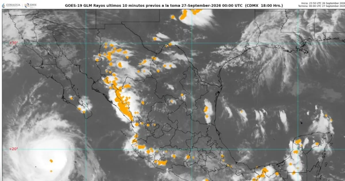
On Saturday morning, The Straits Times said Simon was heading north from a position roughly 115 miles (185km) to the south-southwest of Manzanillo. The newspaper said sustained winds had reached 150mph (240kph) and projected that the hurricane would be at, or slightly over, Mexico’s west-central Pacific shoreline on Sunday.1
Both reports said Simon was expected to reach the west-central coast as a major hurricane. The Hindu also reported on October 11 that the storm could strengthen further before it made landfall.12
Warnings and rainfall risk
According to The Straits Times, a hurricane warning was in force for sections of Mexico’s Pacific shoreline south of Puerto Vallarta, including Manzanillo and the Islas Marias archipelago. A tropical-storm watch extended farther south in the direction of Lazaro Cardenas.1
Mexican authorities warned of heavy rainfall in Guerrero, Michoacan, Colima and Jalisco, the report said. Parts of southwestern Mexico were expected to receive 10 to 20 inches (25 to 51cm) of rainfall from Simon, while some locations in Michoacan, Colima and Jalisco could see as much as 30 inches (76cm).1
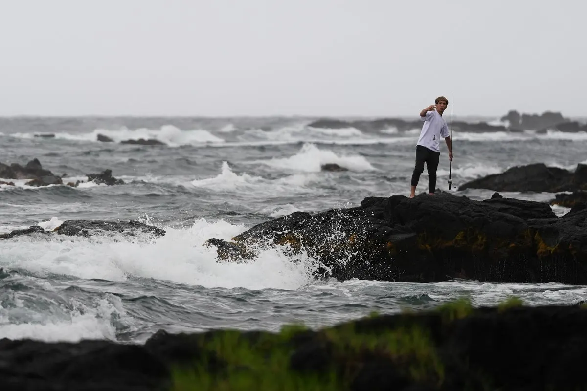
The expected rain could produce life-threatening flooding and mudslides, particularly in mountainous terrain, according to the report. A storm surge and large, destructive waves were also forecast for coastal areas near and east of where Simon comes ashore.1
Potential impacts
Dan Pydynowski, an AccuWeather meteorologist, said: “Simon has strengthened incredibly quickly, and that’s what makes storms like this so dangerous”. He said the winds could harm residential and commercial properties, and that floods and landslides could destroy roads.1
According to The Straits Times, Simon came after Hurricane Polo, a Category 2 system that reached shore on the Baja California Peninsula the previous week. The available reports did not state where Simon would make landfall or provide any confirmed account of impacts from the storm.1
Why it matters
For readers in Europe, the immediate significance is the developing threat to Mexico’s west-central Pacific coast, where Simon was expected to arrive as a major hurricane. The forecast also indicated that the system could strengthen further before landfall.12
Videos
Related stories
Version history
- version 1 ·