Climate · Mexico
Hurricane Trudy brings rain to Mexico’s Pacific coast as flooding warnings continue
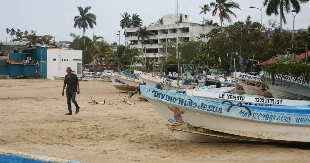
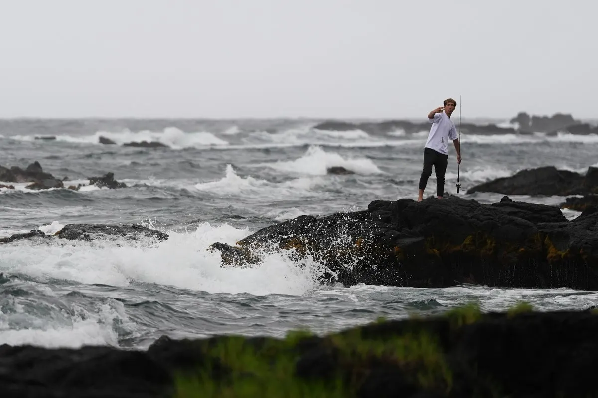
Heavy rain and strong winds affected the coast on October 18. Forecasts pointed to weakening overnight, while warnings covered flooding, landslides and coastal surge.
Trudy brought rain and strong winds to Mexico’s Pacific coast as flooding warnings continued. Forecasts reported Sunday pointed to overnight weakening.
- Flooding and landslides threatened parts of the coast.
- Rain forecasts covered Michoacan, Colima and Jalisco.
- Warnings also included storm surge and damaging waves.
What's new
- Rain and strong winds affected Mexico’s Pacific coast on Sunday.
- Associated Press reported that forecasters expected Trudy to move away.
- A Sunday forecast carried by AOL expected weakening overnight.
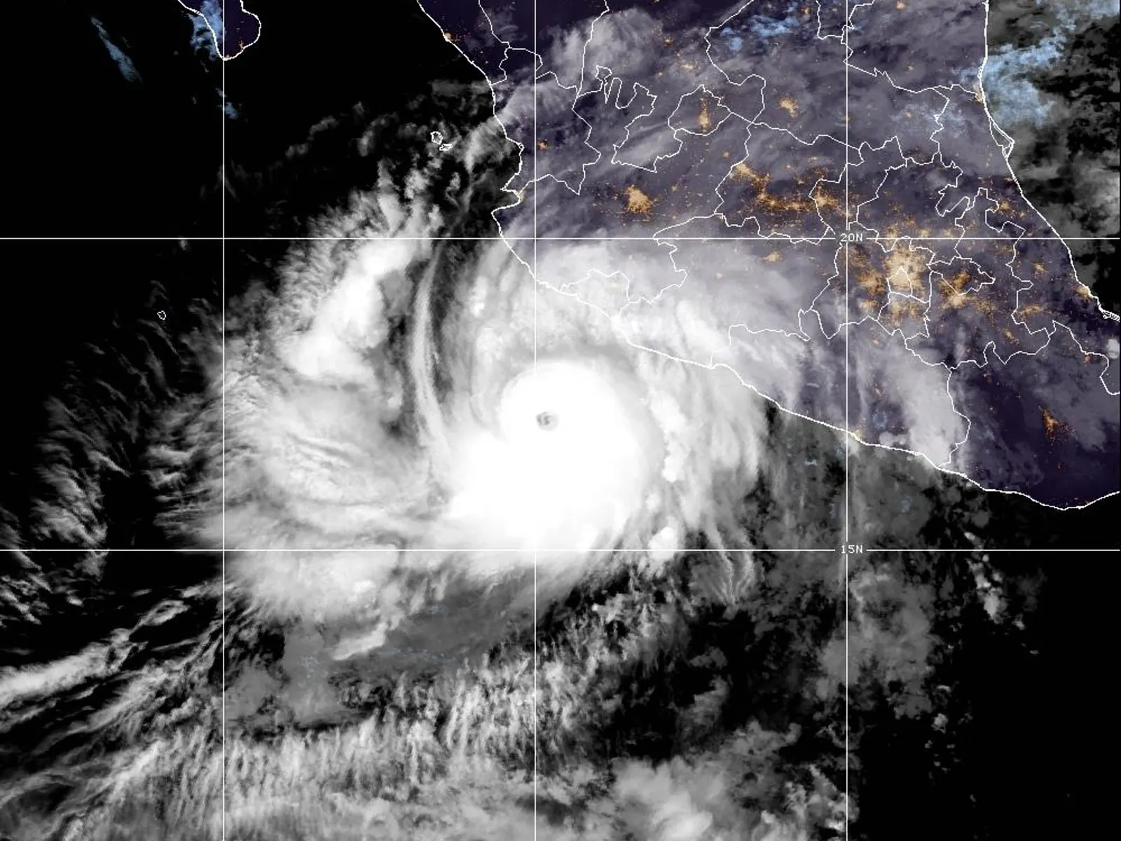
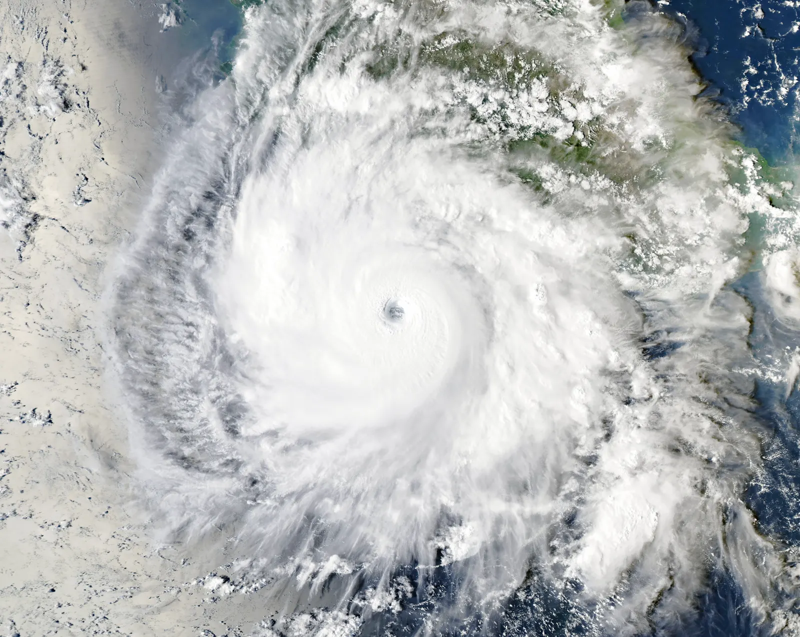
On Sunday, October 18, 2026, Hurricane Trudy lashed Mexico’s Pacific shoreline with powerful winds and downpours as warnings highlighted the risk of deadly floods and mudslides. Associated Press reported that the storm remained offshore as a Category 2 hurricane and that forecasters expected it to move away.25
Rainfall warnings across coastal states
Parts of Michoacan, Colima and Jalisco were forecast to receive four to eight inches of rain, according to reports published by The Straits Times on October 17 and AOL on October 18. The rainfall warnings identified steep terrain as particularly vulnerable to flooding and landslides.14
The reports gave different forecasts for isolated rainfall totals. The Straits Times and The Guardian reported on Saturday that some locations could receive around 15 inches. AOL’s Sunday report put isolated totals at around 12 inches. Those figures were forecasts, rather than measurements of rain already recorded.134
The risk extended beyond those three states. According to The Straits Times, Trudy’s outer bands could deliver two to four inches of rain in Guerrero and Nayarit, with isolated amounts near six inches. That forecast also warned of flash flooding in some locations in both states.1
The Guardian reported on October 17 that officials in Colima said further downpours could be destructive because the soil was already waterlogged. The same report said the Mexican navy had urged mariners and people living along the coast to take precautions.3
Storm expected to weaken
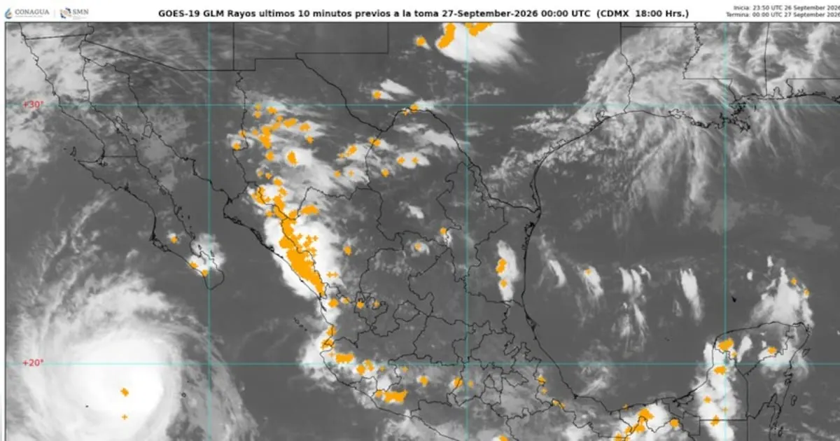
AOL reported on Sunday that Trudy was about 150 miles west of Manzanillo, moving northwest alongside the Pacific coast. Its account described heavy rain and strong winds affecting parts of southwestern and west-central Mexico early that day, while the hurricane retained its strength.4
According to that account, Trudy was forecast to linger off the shoreline until Sunday evening and then lose strength during the night. The report cited a US National Hurricane Center prediction that the storm would start losing strength quickly that night, with its forecast path passing below Baja California Sur during Monday and Tuesday.4
Coastal hazards remain in forecasts
On October 17, The Guardian reported that a hurricane warning covered the stretch from Manzanillo to Cabo Corrientes. According to the newspaper, Mexican authorities put Las Islas Marias under a tropical storm warning while lifting the equivalent alert below Lazaro Cardenas.3
The National Hurricane Center repeated warnings about storm surge and damaging waves along exposed parts of the Pacific coast, according to AOL’s October 18 report. The Straits Times had also warned that Trudy’s swells could create life-threatening surf and rip currents, with surge-related flooding possible where winds pushed water toward shore.14
Why it matters
For readers in Europe following conditions in Mexico, the reports distinguish the storm’s forecast movement from its hazards along the coast. Expectations that Trudy would move away appeared alongside warnings of potentially life-threatening flooding and mudslides.2
Videos
Related stories
Version history
- version 1 ·